About Us
Surveys by land, sea and air
Cloud-Conversion is a leading surveying consultancy with a multidisciplinary team of highly skilled professionals. With nearly a century of combined expertise, we deliver precision surveying solutions across a comprehensive range of disciplines, including:
-
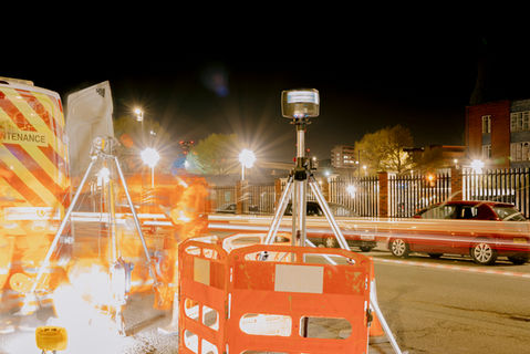
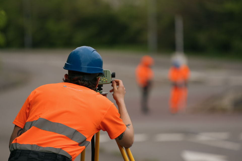
Land & Engineering Surveys – Boundary delineation, topographic mapping, and construction setting out
-
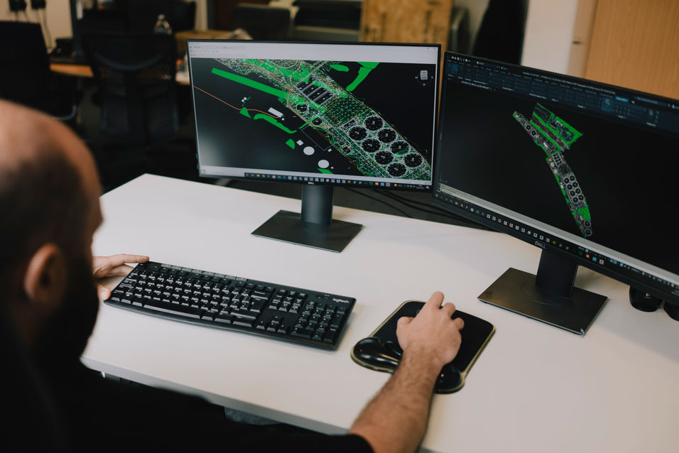
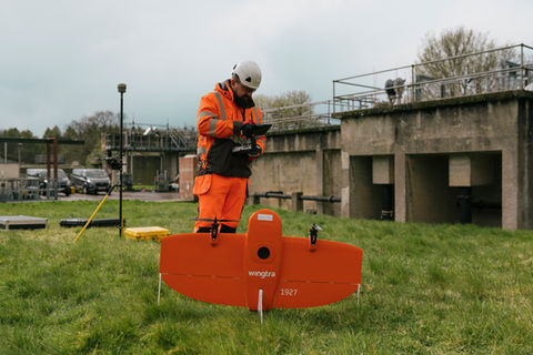
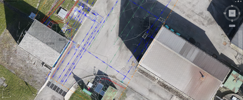
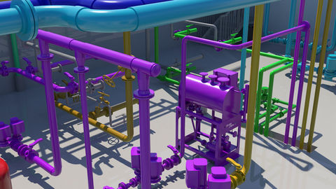
Geospatial Technology – High-accuracy 3D modelling, drone surveys, and BIM integration
-
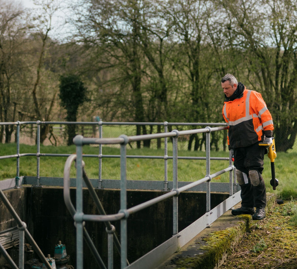
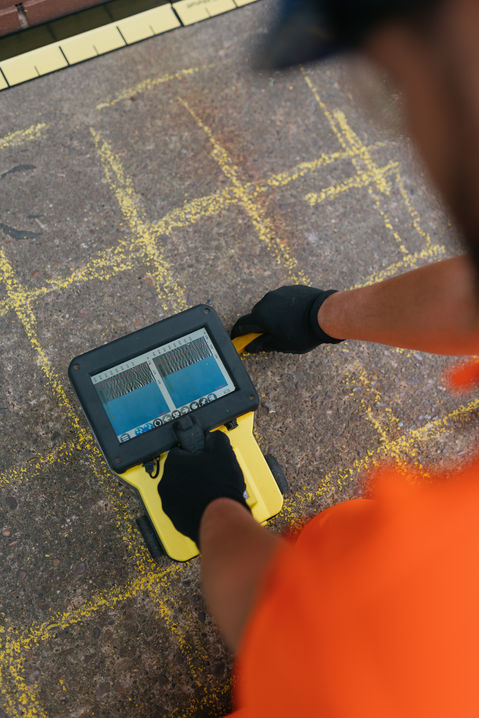
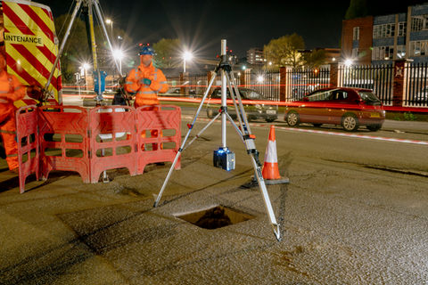
Subsurface & Structural Analysis – Utility detection, CCTV drainage inspection, and Ferroscan concrete imaging
-
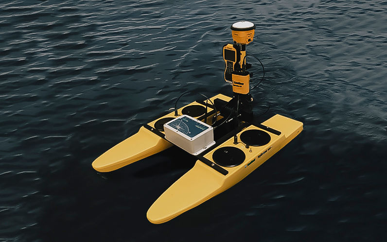
Hydrographic Surveys – Bathymetric mapping for coastal, riverine, and infrastructure projects
Equipped with cutting-edge instrumentation—including robotic total stations, LiDAR, GPR, and multibeam sonar—we combine technical rigour with industry best practices to ensure reliable, compliant data for architects, engineers, and developers.
Committed to excellence, we transform raw measurements into actionable insights.

Services
What can we do for you?
Projects
Take a look at some of our
recent projects...


